Politics & Government
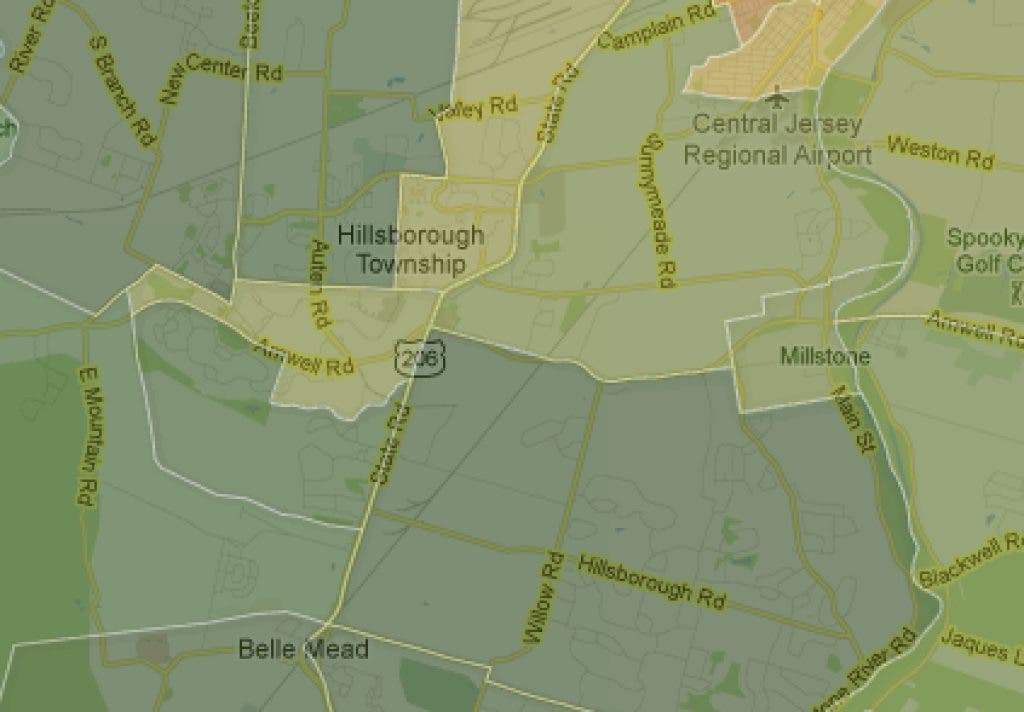
How Green is My Valley?
Interactive census map shows income levels by Census tracts.

The United States Census Bureau's American Community Surveys have tabulated an amazing amout of information about towns and cities across the country.
Among all the data collected are details on income and rents that has been collected in an interactive map called "Rich Blocks, Poor Blocks." The map shows the median household income in each Census tract, allowing comparison for towns, and neighborhoods, across the country.
Hillsborough's southwest neighborhoods fall into Census tract 538.03, and boast the township's highest median income at $147,125. The next highest is tract 5237.07, which encompasses everything north of New Amwell Road and west of Farm and Roycefield roads.
Find out what's happening in Hillsboroughwith free, real-time updates from Patch.
The area that includes the condominium developments in the center of townand north along the west side of Route 206—Census tract 538.04—comes in at a median household income of $79,140.
The map notes the statewide middle income average is $63,101.80 to $78,762.60.
Find out what's happening in Hillsboroughwith free, real-time updates from Patch.
Oddly, the rent map is almost a mirror image of the income map, with the areas showing the lowest income average boasting the second highest rental cost average. Poor ol' Tract 538.03 has the lowest average rent, just $874.
The map may not provide much information you didn't already have, but it is interesting to see and consider.
You can search for any address in the nation at www.richblockspoorblocks.com
Get more local news delivered straight to your inbox. Sign up for free Patch newsletters and alerts.